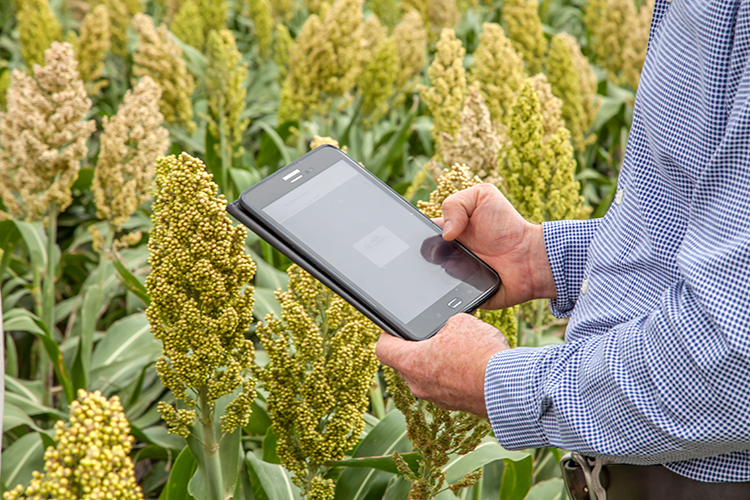
The Digital Agronomist platform has a new-look, new features, and new benefits.
DataFarming’s ‘Digital Agronomist’ platform builds on the platform’s success with a host of extra features and quicker access to imagery. Now with:
- Dashboards for easy navigation
- Field boundary editing
- Collaboration with others
- Phone & tablet optimisation for in-field data referencing
- And, most importantly, 6x faster image load speed!


NDRE Imagery
Ideal for monitoring crop variability and performance in fine detail, high resolution imagery gives you greater confidence in detecting issues that are difficult to see at ground level. Satellites are more cost effective than drones or planes, and data can be gathered over anywhere in the world.
- Proactively monitor and manage crops by checking germination, monitor growth throughout the season and manage the crop accordingly
- Variable rate applications
- Monitor disease outbreaks
- Monitor pests
- Check for fertiliser striping
High-resolution imagery is still available as a pay-per-hectare/acre service.
Whilst the basic version will remain free forever, users can now benefit from Advanced subscriptions with features for those who want more.
With advanced calculations and algorithms, users can benefit from all the FREE features, plus:
- Multiple Field Selection
To easily view and create whole-farm or multi-field crop health maps. - NDRE Imagery (Normalised difference red edge index)
For dense/high biomass crops to determine crop health mid to late season. - PCD Imagery (Plant Cell Density)
For viticulture and cotton to determine crop health and water stress factors. - Thermal Imagery
Useful in irrigation and dryland farming situations to detect plant stresses.

Thermal Imagery

DataFarming provides an easy-to-use, low-cost crop monitoring tool that delivers global access to satellite imagery and digital data, enabling farmers and agronomists to make better decisions throughout the cropping cycle at the right time.
We proudly work with agribusinesses, universities, R&D organisations, government agencies, and agronomists globally to develop technology and provide insights to help manage business and industry issues.
