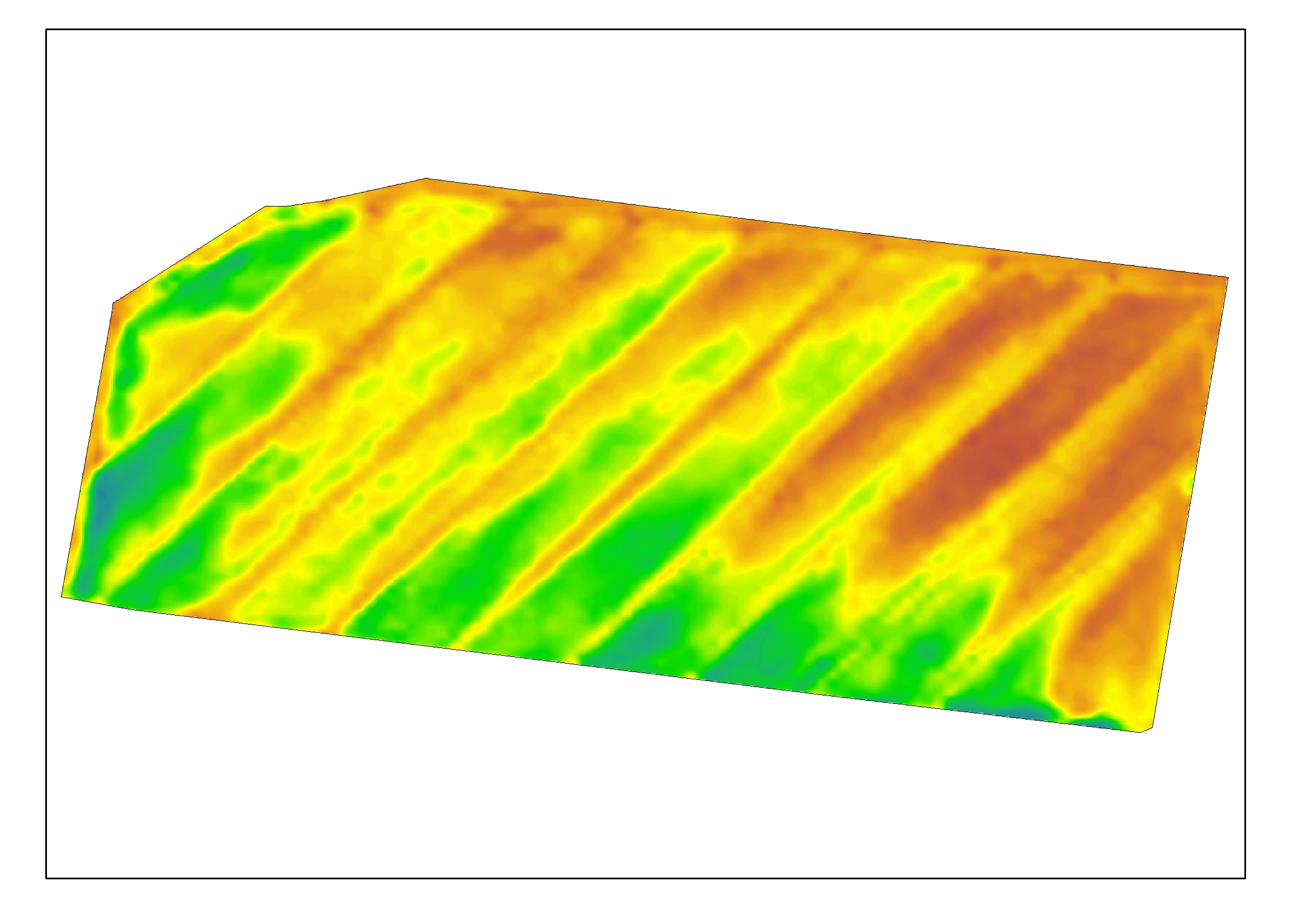
Over the past 3 years we have had a number of cotton, sugarcane, and rice users in particular that want higher resolution imagery during the season. In addition to this, we often see ‘saturation’ of high NDVI in these crops – where at the peak growth of the season, you cannot see variation very clearly in these big crops.
New high resolution satellite imagery launched for summer cropping (G-COVER)
We have just released a new product at 1.5m x 1.5m pixel resolution and provide a green cover index (we call it G-Cover) – which is how much growing crop covers the ground. This new algorithm is less likely to ‘saturate’.
The price is $4.95/ha + GST for at least 3 captures during the season. This is a TASKED satellite, so you need to get your orders in NOW to avoid disappointment (this satellite doesn’t routinely capture – it is on-demand).
As with all our high resolution products, you get to download the geotiff files as part of the price (if you want to use this data in other software). This new product can be very easily ordered on the platform over your existing paddocks. A YouTube clip on how to order is here.
This new product compliments our existing 50cm and 3metre resolution products already offered. If you have intensive horticulture, we would suggest you go for the 50cm product over the 1.5m – to get down to a tree/vine level. This product is $10/ha+GST for at least 3 captures during the season.
As ever, don’t hesitate to get in touch if we can be of assistance. If you need software support, support@datafarming.com.au is available to you. If you are having troubles with boundary uploads then please email them to support and we will fix them for you – at no charge (we want you to be getting value from the platform!)
All the best,
Tim and Peta Neale and the whole team